REVIEW · SANTA BARBARA
Santa Barbara: Beach and Coastline Helicopter Tour
Book on GetYourGuide →Operated by Sky High Helicopters · Bookable on GetYourGuide
If you like big views in small time, this is for you. A short Sky High Helicopters flight tracks the coast and turns Santa Barbara into a bird’s-eye photo you can’t get from the sand. I like how the route sets up quick, clear sightlines—UCSB and Campus Lagoon early on, then rugged coastline moments right after.
The other thing I really appreciate is the way the sky framing adds drama: the Santa Ynez Mountains sit like a wall behind everything, and you may even spot the Channel Islands off in the distance. One consideration: 6 minutes is brief. If you’re expecting to actually take in lots of Santa Barbara details from the air, you may find it too short—and some people look for longer options.
In This Review
- Key things to know before you fly
- A Six-Minute Helicopter View of Santa Barbara’s Coast
- From UCSB to Campus Lagoon: The Tour’s First Big Photo Moment
- Goleta Point and Goleta Beach: Where the Coast Turns Dramatic
- Channel Islands in the Distance: A Bonus You’ll Be Glad You Asked For
- Santa Ynez Mountains Framing: Why the Horizon Looks Different From Above
- Price and Logistics: $69 for 6 Minutes (What That Really Means)
- Meeting Sky High: Where You Start and How to Plan Your Arrival
- Live Commentary in English: Pilot Quality and Host Moments
- Who Should Book This, and Who Should Consider a Longer Flight
- Should You Book the Santa Barbara Beach and Coastline Helicopter Tour?
- FAQ
- How long is the Santa Barbara beach and coastline helicopter tour?
- What does the tour cost?
- What views are included during the flight?
- Is there a live guide?
- Where do I meet for the tour?
- Is the tour available with free cancellation?
- Can I reserve now and pay later?
- Is there a skip-the-ticket-line option?
- Are there weight limits?
Key things to know before you fly
- 6 minutes means fast scenery changes and quick photo windows
- UCSB + Campus Lagoon + Goleta coastline give you variety without a long ride
- Channel Islands can appear far out, depending on visibility
- Live English commentary helps you understand what you’re seeing in real time
- Weight limits apply (300 lbs per person; 550 lbs max total per group)
A Six-Minute Helicopter View of Santa Barbara’s Coast
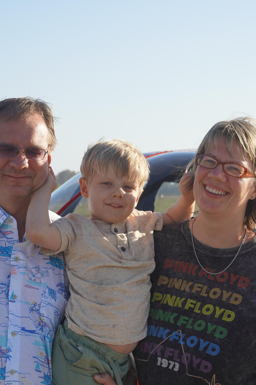
This is the kind of tour that’s perfect when you want the coast at full scale but don’t want to spend half a day on it. For $69 per person and a 6-minute flight, you’re basically buying one thing: an overhead perspective that makes the shoreline, bluffs, and ocean feel connected.
The biggest value here is clarity. From the ground, Santa Barbara’s coastline can look like a bunch of pretty beaches and a few headlands. From above, it becomes a connected system: the campus area, the lagoon, the beach edges, then the point where the coast starts acting wild and rocky. You get that “oh, that’s what this area looks like” feeling quickly.
Now, the trade-off is time. Six minutes is enough to enjoy the view and learn what you’re looking at, but not enough for slow gawking or multiple re-checks of the same spot. If you’re the type who hates rushing, plan for a quick, high-adrenaline tasting menu rather than a long sightseeing flight.
From UCSB to Campus Lagoon: The Tour’s First Big Photo Moment
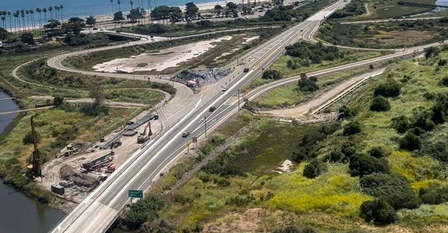
The flight starts with one of the easiest areas to recognize from the air: UCSB’s campus and its nearby waters. From above, you can see how the campus sits in relation to the coastline and how the terrain shapes the shoreline.
Right after that, Campus Lagoon is part of the visual story. A lagoon reads differently from the ground. At aerial height, it looks calmer, more defined, and easier to trace. It also helps you orient yourself fast, which matters on a short flight because you’re always a little behind if you’re searching for landmarks.
This opening stretch is a strong match for first-time helicopter riders. It’s not just pretty—it’s readable. You’ll likely understand what’s where without needing perfect visibility or fancy map skills. I especially like that this segment sets context before the coastline gets more rugged. It’s easier to enjoy the changes when you can connect them.
Goleta Point and Goleta Beach: Where the Coast Turns Dramatic
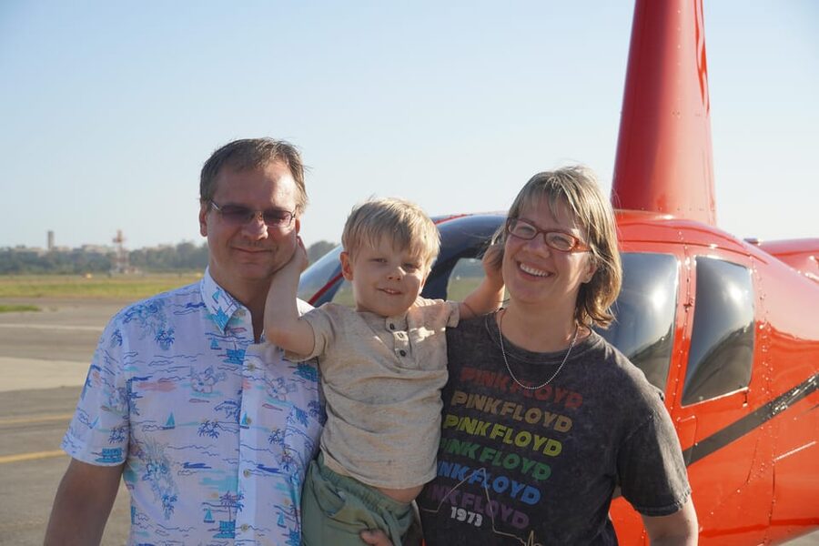
Then you get into the coastline character that makes this area famous. Goleta Point is one of those locations where the shoreline shape changes—edges, rockier sections, and the way the ocean presses against land.
Goleta Beach adds a different mood. From the air, beaches look like clean lines laid onto the coast. You can see the relationship between the water and the land in a way that helps you understand surf zones, shoreline curves, and how the coast funnels ocean movement.
This is also where you’ll appreciate how “scenic” in aviation terms isn’t just pretty. It’s motion. The coast has texture, and the helicopter angle makes it pop. On a short flight, the best strategy is to accept that you’re seeing snapshots, not a full guided walk-through. If you keep your expectations realistic, this segment lands well.
Channel Islands in the Distance: A Bonus You’ll Be Glad You Asked For
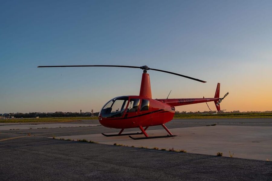
The tour includes views of the Channel Islands in the distance when conditions allow. The islands are a classic “wait, is that really it?” sight. From shore, they can feel like a vague horizon detail. From the air, they become a more obvious shape on the water.
This bonus matters because it turns your flight from local-only scenery into something broader. Even if you don’t know the names of every island, your brain understands the point: you’re not just flying along a beach. You’re seeing the geography that gives this coast its identity.
One practical note: distant views depend on visibility. If the day looks hazy, you might still get the coastline story, but the islands may be harder to pick out. If it’s clear, treat the horizon as part of the itinerary and keep your eyes scanning outward, not only down at the waterline.
Santa Ynez Mountains Framing: Why the Horizon Looks Different From Above
The Santa Ynez Mountains play a major role in how the whole area reads from the air. They sit behind the coast, which means they act like a backdrop for everything you’re flying past. This framing can make a compact route feel bigger than it is.
Mountains also create scale. When you can compare the height of ridges to the flatness of the coastline and the edges of the lagoon, you get a better sense of where you are and how the region connects inland and coastal areas.
This part of the flight is also one of the easiest for people to appreciate without any special knowledge. You don’t need geography facts. You just need to notice that the sky turns the horizon into a wall of shape and color contrast. It’s the kind of view that makes a quick flight feel special.
Price and Logistics: $69 for 6 Minutes (What That Really Means)
Let’s talk value honestly. $69 for a 6-minute helicopter ride is not trying to be a long sightseeing experience. It’s more like paying for an aerial highlight reel. If your goal is to see Santa Barbara’s coast from a new angle, the price can make sense because the time you’re spending is tightly focused.
The part that can affect your satisfaction is expectation. If you’re expecting lots of time over Santa Barbara itself, six minutes may feel like you blinked and it was over. That’s a real consideration worth taking seriously. One person noted they couldn’t see enough of Santa Barbara in that short window, and another mentioned they had to pay for additional time to get what they wanted.
So here’s the practical approach: book this as a quick view upgrade, not as a full aerial tour of the whole region. If you’re after a slower, longer ride, you’ll want to check what flight-length options are available for your date and what you’re paying for—so you don’t end up feeling shortchanged.
Meeting Sky High: Where You Start and How to Plan Your Arrival
You’ll meet at the launch area by the Signature office building. Park in front of it and look for the Sky High Helicopters sign. That’s the key detail that prevents stress, especially when you only have a short flight window.
Because the experience is so time-compressed, I’d treat your arrival as “get there early” territory. Even a minor delay can eat into your time buffer, and you’ll want a calm start to your photos and your seat time.
Once you’re there, you can expect a live English tour guide and a setup designed to get you on quickly—there’s a skip-the-ticket-line perk. That combination helps keep the mood focused on the flight rather than paperwork.
If you’re sensitive to waiting or want zero friction, this is a good sign. If you’re the kind of person who likes to linger with coffee and slow logistics, you may find the timing less forgiving.
Live Commentary in English: Pilot Quality and Host Moments

A helicopter tour is only half about what you see. The other half is what someone tells you while you’re seeing it. Here, the tour includes an English live guide, which is ideal if you want recognition and context without needing to study maps before you go.
People specifically praised the pilot. One person simply called the pilot great, and that kind of comment usually points to smooth flying and good situational awareness—both matter when you’re trying to spot islands and coastline details in a short time.
There was also a standout host named Holly who was described as friendly and professional, with twelve years of experience and a Santa Barbara connection. That matters because a local perspective helps you interpret what you’re looking at quickly.
There was one sour note too: someone felt the guide was a bit stand-offish. That can happen anywhere, but it’s worth considering if you’re hoping for lots of casual conversation. Your best bet is to focus on the visuals and let the guide do the job of pointing out landmarks.
Who Should Book This, and Who Should Consider a Longer Flight
This tour makes sense if you fit one of these groups:
- You want a fast aerial orientation to Santa Barbara’s coastline.
- You’re visiting for a short trip and want one “wow” moment without eating your whole day.
- You like clear landmarks: UCSB, Campus Lagoon, Goleta Point, Goleta Beach, plus possible Channel Islands.
It might be less satisfying if you’re after a deep, drawn-out sightseeing experience. Six minutes is quick by design. If you want more time over Santa Barbara proper, plan to investigate whether longer flight options are available and what you’ll pay for them. One person felt that 6 minutes wasn’t enough to see Santa Barbara well.
Also check the weight limits before you commit: 300 lbs per person, and a 550 lbs max total group weight. If you’re traveling with others, make sure you stay within both limits so you don’t get stuck with last-minute changes.
If you want value, don’t confuse “short” with “meaningless.” Think of it as an aerial highlight circuit.
Should You Book the Santa Barbara Beach and Coastline Helicopter Tour?
I think it’s a good booking when you treat it like what it is: a compact, aerial coastline sampler. For $69 and 6 minutes, you’re buying a fast, high-impact viewpoint of UCSB, Campus Lagoon, Goleta Point, Goleta Beach, with the potential for Channel Islands and a strong horizon of the Santa Ynez Mountains.
Skip it if you’re the type who needs time to stare. If you hate rushing, you may feel disappointed, especially if you’re hoping for a broader sweep of Santa Barbara from above.
If you do book, my best advice is simple: choose your day for visibility, arrive with extra time at the meeting spot, and keep your eyes on the horizon as much as the shoreline. That’s where the islands and the mountain framing will make the quick flight feel longer in your memory.
FAQ
How long is the Santa Barbara beach and coastline helicopter tour?
It lasts 6 minutes.
What does the tour cost?
The price is $69 per person.
What views are included during the flight?
You fly along the California coastline and can see UCSB, Campus Lagoon, Goleta Point, Goleta Beach, the Santa Ynez Mountains, and the Channel Islands in the distance.
Is there a live guide?
Yes. There is a live tour guide in English.
Where do I meet for the tour?
Park in front of the Signature office building and look for the Sky High Helicopters sign.
Is the tour available with free cancellation?
Yes. You can cancel up to 24 hours in advance for a full refund.
Can I reserve now and pay later?
Yes. You can reserve now & pay later.
Is there a skip-the-ticket-line option?
Yes, it includes skip the ticket line.
Are there weight limits?
Yes. The limit is 300 lbs per person, and groups have a 550 lbs maximum total. If you’re above these limits, you’re instructed to call the provider.